Leeds weather: Exactly when snow is forecast next week as temperatures to plummet below freezing

and live on Freeview channel 276
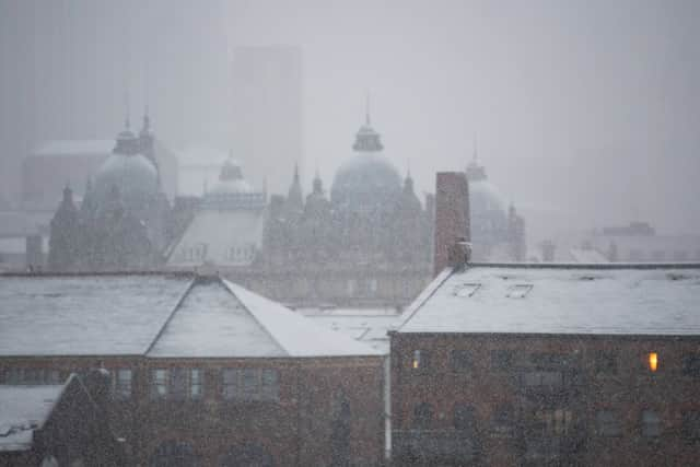
Forecasters have warned of potential travel disruption as wintry weather is set to sweep the country. After a mild day today (Saturday), the cold snap is expected to hit Leeds tonight.
Cloud and outbreaks of rain, with sleet or possibly snow over high ground, will arrive from the north. Overnight temperatures will then drop well below freezing for five nights in a row.
Advertisement
Hide AdAdvertisement
Hide AdHere is when snow is expected to hit Leeds, according to forecasters at the Weather Channel.

Upcoming Leeds forecast
Sunday
Day: Morning clouds followed by afternoon sun. Turning colder. High 3C. Winds NW at 10 to 15 mph.
Night: Generally clear. Low -2°C. Winds NW at 10 to 20 mph.
Monday
Day: Generally clear. Turning colder. High 1C. Winds NW at 10 to 20 mph.
Night: Mostly cloudy. Low -2C. Winds WNW at 10 to 15 mph.
Tuesday
Day: A mix of rain and snow in the afternoon. Continued cold. High 3C. Winds WSW at 10 to 20 mph. Chance of precipation 40%.
Advertisement
Hide AdAdvertisement
Hide AdNight: Snow showers. Low -2C. Winds W at 5 to 10 mph. Chance of snow 40%.
Wednesday
Day: Generally clear. High 2C. Winds NW at 5 to 10 mph.
Night: Generally clear. Hard freeze expected. Low -3C. Winds WNW at 10 to 15 mph.
Thursday
Day: Generally clear. High 2C. Winds W at 10 to 15 mph.
Night: Partly cloudy. Widespread frost likely. Low -2C. Winds W at 10 to 15 mph.
Friday
Day: Partly cloudy. High 4C. Winds SW at 10 to 15 mph.
Night: A mix of rain and snow. Low 2C. Winds SW at 15 to 25 mph. Chance of precipitation 50%.
Comment Guidelines
National World encourages reader discussion on our stories. User feedback, insights and back-and-forth exchanges add a rich layer of context to reporting. Please review our Community Guidelines before commenting.