When will the worst of Storm Freya hit?
and live on Freeview channel 276
The storm is bringing very strong and disruptive winds to large parts of the UK, with the strongest winds expected over parts of England.
South-westerly winds have strengthened throughout Sunday afternoon.
Advertisement
Hide AdAdvertisement
Hide AdIn Yorkshire, wind speeds are set to increase throughout the evening, hitting 40mph by 8pm and almost 50mph by 11pm.
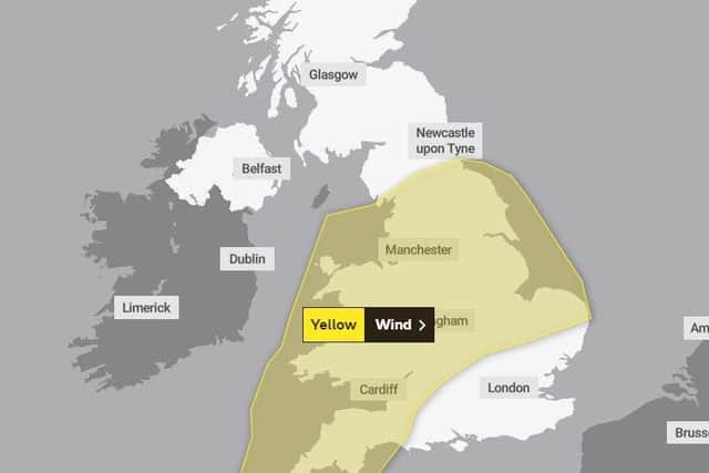

Gusts of 70-80mph are likely around coastal areas, according to the Met Office.
The weather warning will remain in place until 6am on Monday morning.
Highways England’s head of road safety Richard Leonard, said: “We’re encouraging drivers to check the latest weather and travel conditions before setting off on journeys and consider if their journey is necessary and can be delayed until conditions improve.
Advertisement
Hide AdAdvertisement
Hide Ad“If you do intend to travel, then plan your journey and take extra care, allowing more time for your journey.
“In high winds, there’s a particular risk to lorries, caravans and motorbikes so we’d advise drivers of these vehicles to slow down.
“Drivers of other vehicles should be aware of sudden gusts of wind which can affect handling and braking, and give high-sided vehicles, caravans, and motorbikes plenty of space.
“In the event of persistent high winds we may need to close bridges to traffic for a period, so please be alert for warnings of closures and follow signed diversion routes.”
Advertisement
Hide AdAdvertisement
Hide AdLooking ahead to next week, Met Office deputy chief meteorologist Jason Kelly, said: “As Storm Freya moves into the North Sea on Monday so too will the strongest winds.
“The rest of the week will be largely unsettled with further spells of wet and windy weather, but some fair weather and sunshine in places too.”