Snow forecast for Yorkshire as yellow weather warning for ice issued


This warning is in place from 12am to 12pm on Tuesday (22 Jan), covering East Yorkshire, North Yorkshire, South Yorkshire and West Yorkshire.
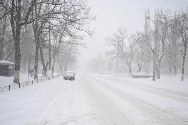
The Met Office said: “A band of rain and hill snow will move southeastwards across the UK during Monday evening and overnight.
Advertisement
Hide AdAdvertisement
Hide Ad“A brief spell of wet snow is possible on high ground of southern Scotland, northern England and north Wales, with some small accumulations possible.
“Behind this surface temperatures will rapidly fall away with some ice forming on some surfaces.
“Once the rain has cleared, some hail, sleet and snow showers will follow from the northwest, with 1-3 cm above 200 metres and some small accumulations expected at lower levels.”
What to expect from this yellow weather warning
Ice will form on some surfaces overnight into Tuesday morning across much of the UK.
- Some injuries from slips and falls on icy surfaces
- Ice on some roads, pavements and cycle paths
Advertisement
Hide AdAdvertisement
Hide Ad- Some roads and railways affected with longer journey times by road, bus and train services
'Hail, sleet and snow are possible in places to low levels'
Today, Yorkshire will be "A cold day, especially to start, with a widespread frost. Staying dry throughout however, with sunny periods developing for many into the afternoon. Becoming breezy later," the Met Office said.
"Windy during the evening, ahead of a band of rain, sleet and hill snow pushing southeast, giving some accumulation on hills. Clearer and colder conditions following, with widespread icy surfaces. Minimum temperature -2 °C."
On Tuesday, there will be "Icy early on, but otherwise bright and blustery with sunny spells and isolated showers. Hail, sleet and snow are possible in places to low levels, although accumulation should be patchy," add the Met Office.
Advertisement
Hide AdAdvertisement
Hide AdWednesday to Friday will be "Bright but cold and showery midweek, with some snow, overnight frost and ice. Becoming less cold but cloudier later Thursday and into Friday with patchy rain preceded by some snow."